
 |
| Mt.Rebun-dake Climbing Course Map |
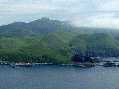
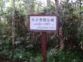
Nairo Mountain Climbing Trailhead~top of Rebun-dake~
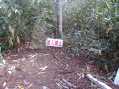
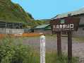
Nairo Mountain Climbing Trailhead |
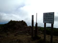
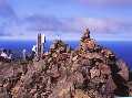
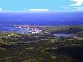
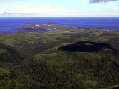
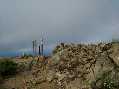
An impressive 360-degree panorama where the skymmts the sea.
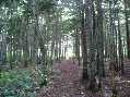
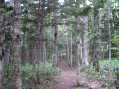
On the Mt.Rebun-dake Climbing Course.climbers head for the 490-meter-high mountauntop while enjoying the roadside flowers,and take in panoramic views from the island's highest peak.It takes two hours from the Nairo Mountain-climbing Trailhrad to the mountaintop,where climbers spend an hour before making their descent. The journey backtakes an hour.
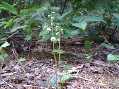
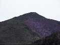
Along the mountainneering course are flowers that bloom slightly later than those near coastal areas. It is delightful to see the tiny wwhile Chimaphila japonica flowers against the fresh greenery. From the mountaintop, a 360-dwgree panorama unfold;the horizon gives the sense of line between sky and sea blurs. There is also a fascinating view of Mt.Rishiri(referred to as Rishiri-Fuji due to its resemblance to Mt.Fuji)toweringahead.
 |
|
|